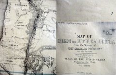
1848
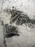
1855
1855
1855
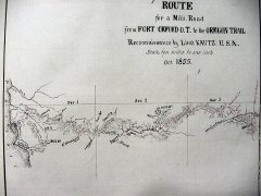
1855
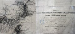
1856
Gateway To Early Maps of Southern Oregon
|
1848 |
1855 |
|
1855 |
1855 |
|
1855 |
1856 |
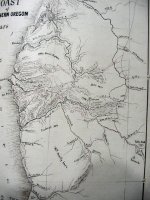
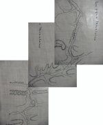
These maps are some of the earliest ever drawn of Southern Oregon. They show the North-South route along the Applegate Trail and other maps show how explorers were looking to find a pathway that could serve as a military road from the Applegate Trail to the mouth of the Rogue River. Note how the spelling of names changes and how many of the geographic features are filled over time.
"Click" on each map to see a larger size.